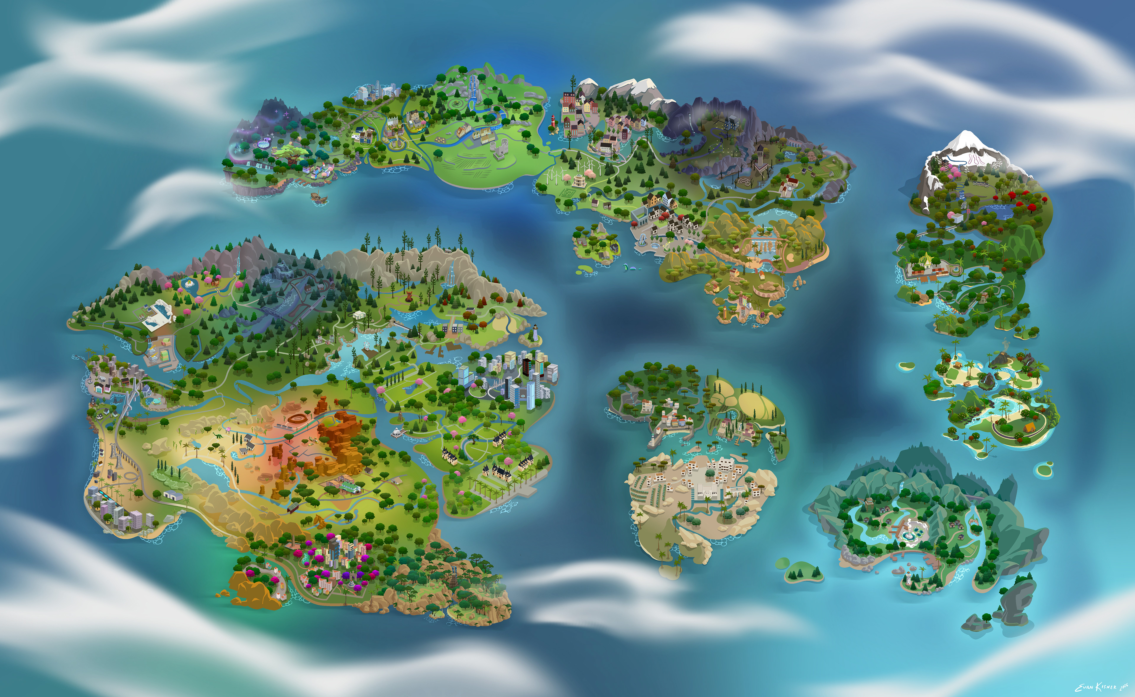
I was hired to draw a world map for a mod for the Sims 4 in which the vanilla world select bubbles are replaced with a single continental map! The aim of the project was to make in game travel more immersive and unified.
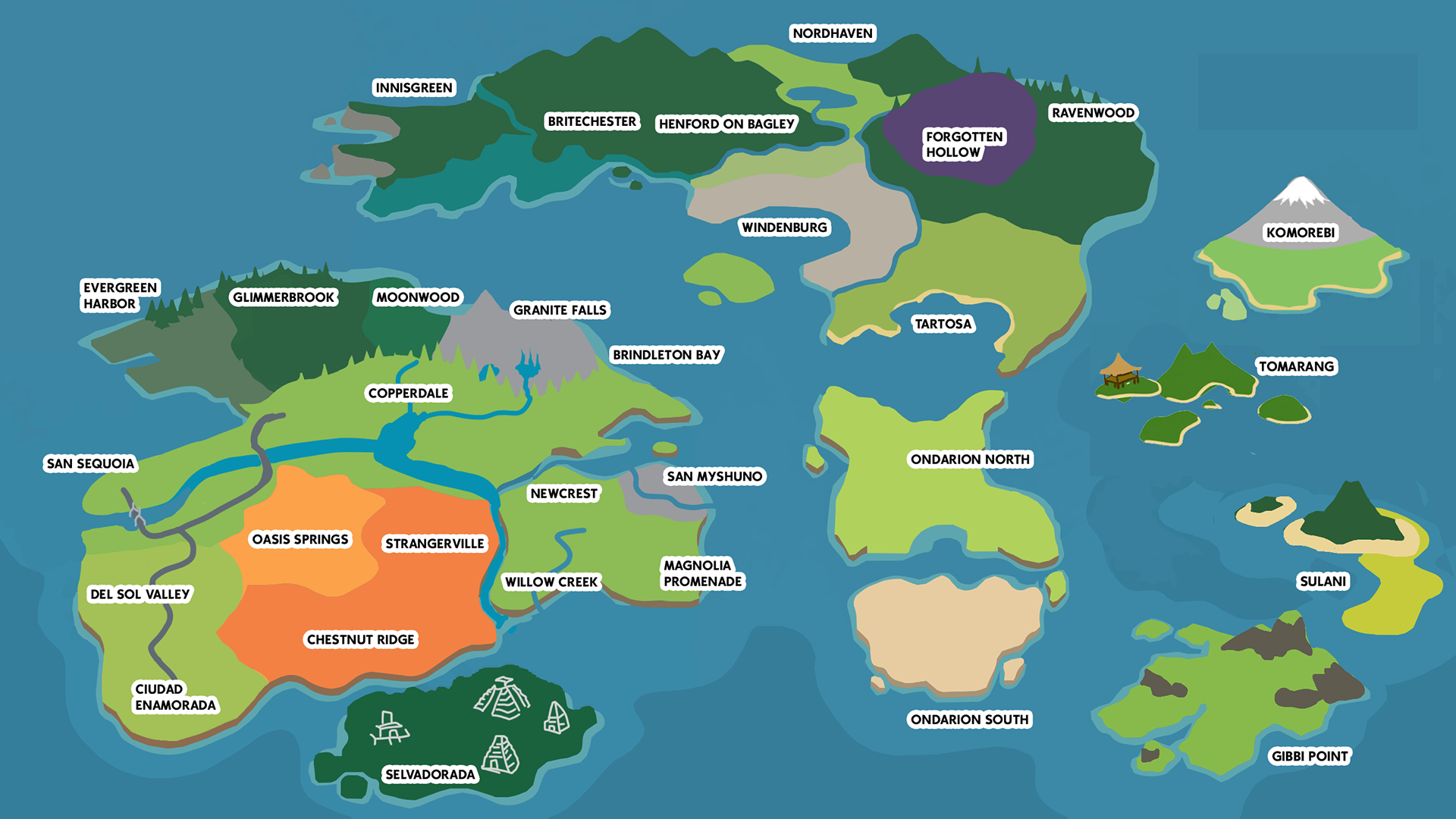
The work was commisioned by Sims 4 modder SimMattically, who provided the initial layout of how each of the thirty worlds would fit together.
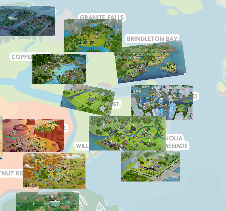
To start, I downloaded images of the official town maps and lined them up to where they could conceivably be connected.
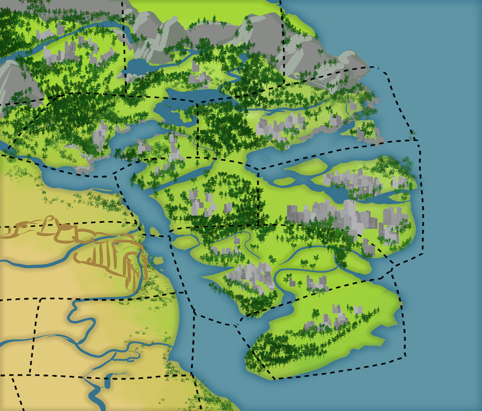
While style matching was an important element, my initial sketches were purly to lay out geography, forests, and building placement. I wanted to play with connecting the towns naturally.
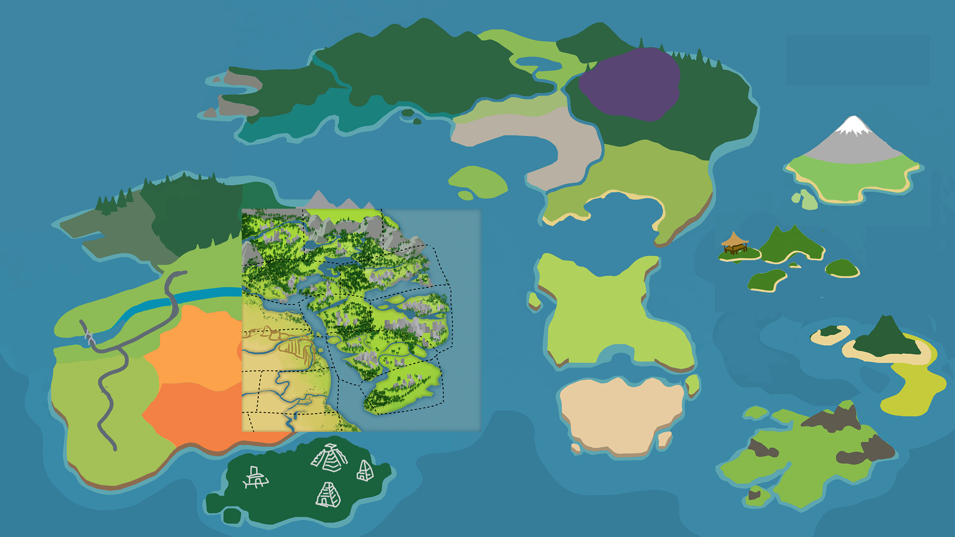
After some feedback and further discussion, I started working on style tests. I thought it'd be easiest to start with a smaller island before jumping to the big continents.
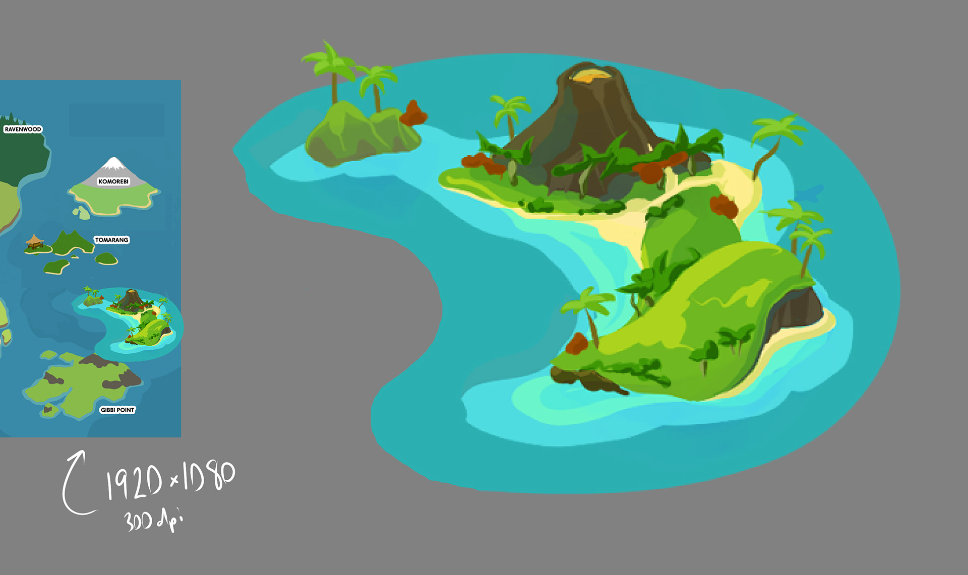
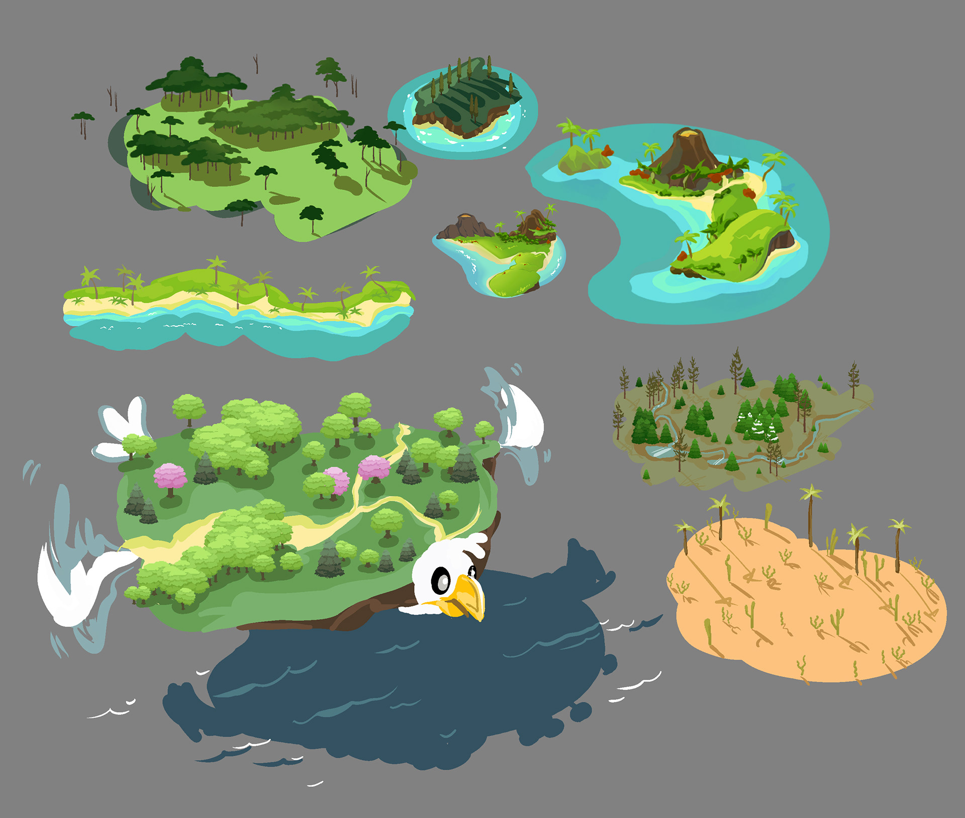
I started to refine the island, while also experiementing with more biomes. In order to save time, I created my own plant brushes in Clip Studio Paint. It kept the style unified, allowed for easier color variation, and saved who knows how many hours.
I started making rough sketches of the various towns coast by coast. I got landmarks and general colors laid out.
With the assets figured out and the style set, I got to work with translating the town maps to a simplified, yet recognizable form.
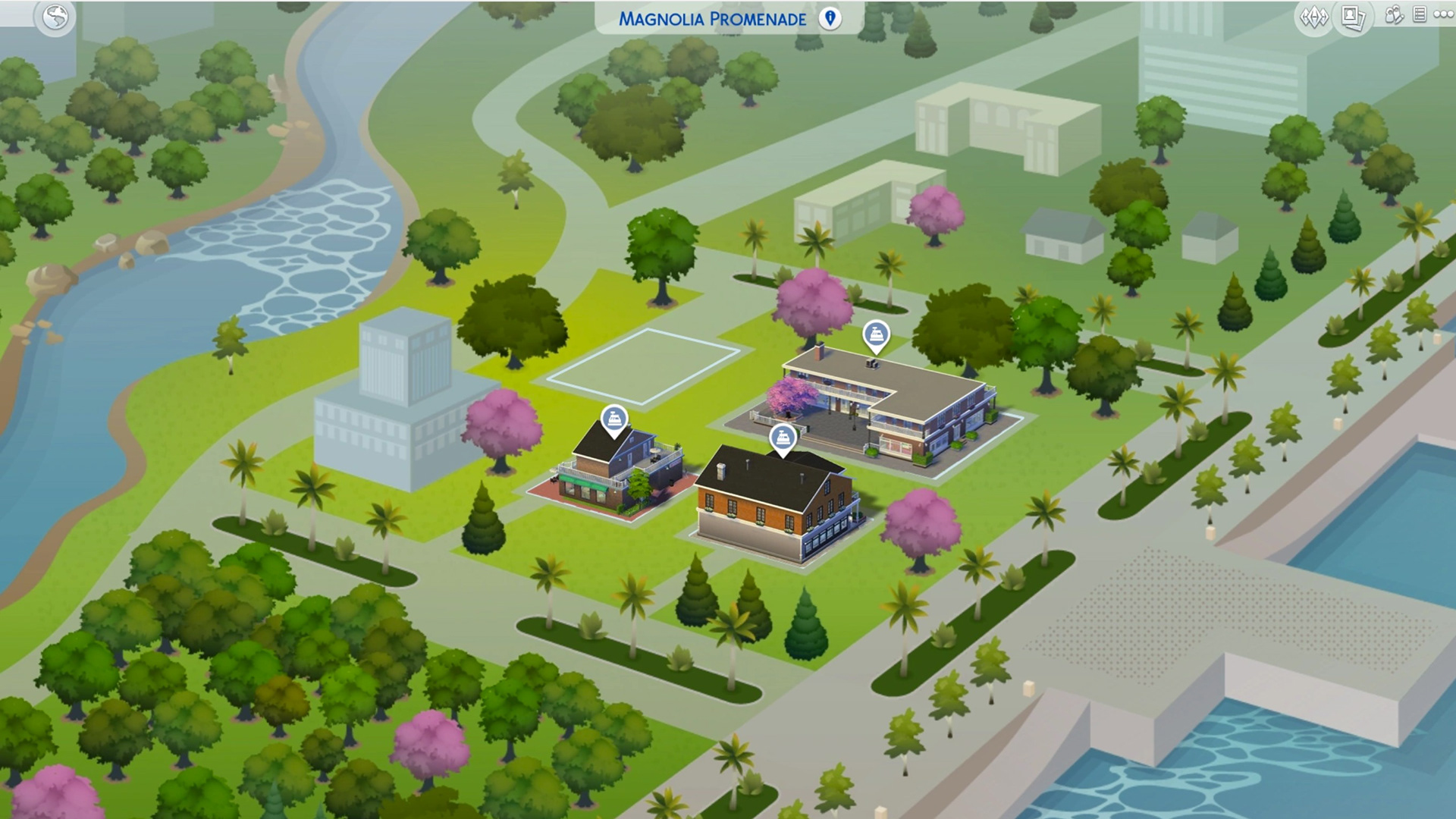
Official, in-game map
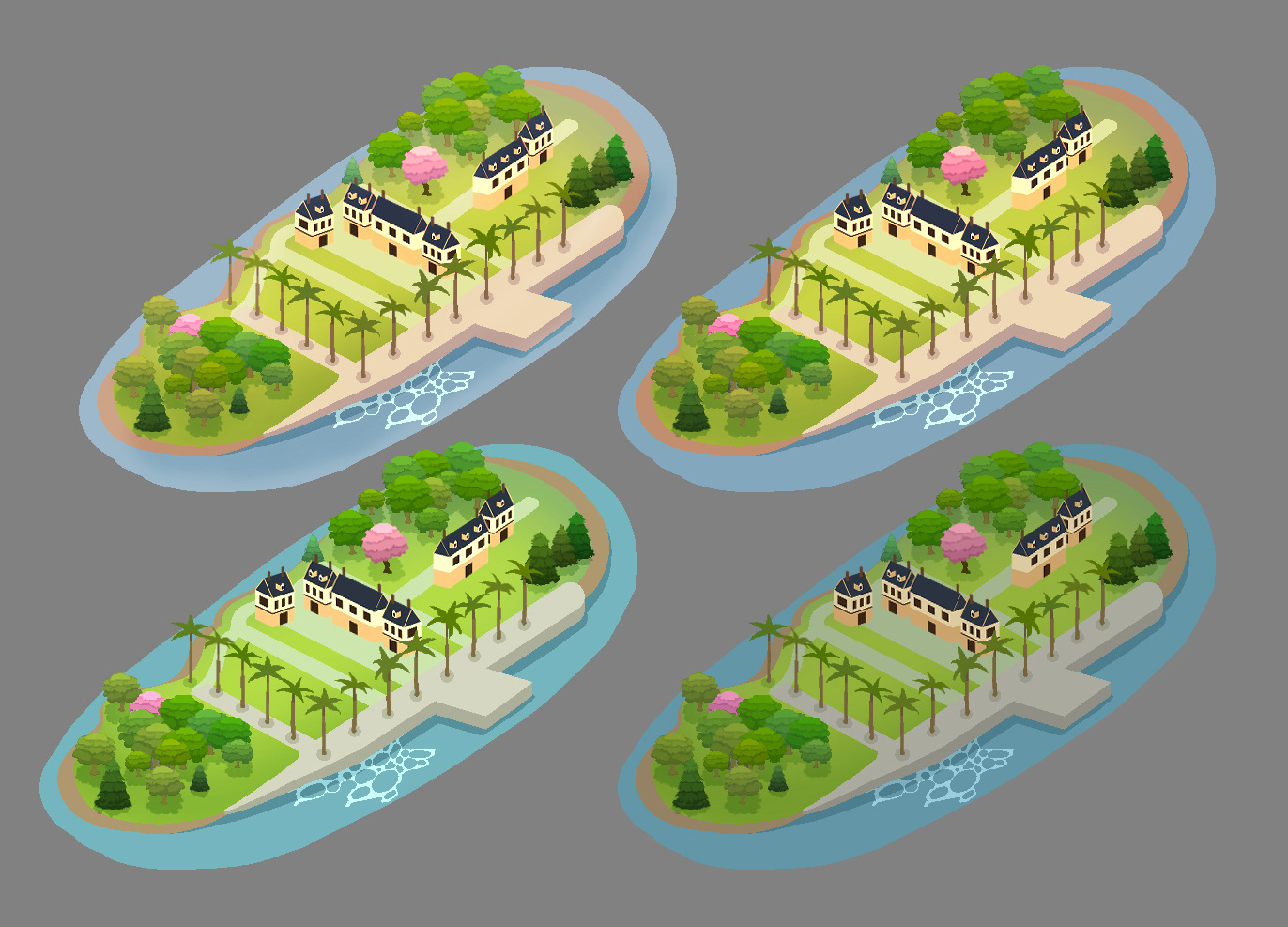
My simplified version in various color temperatures
I carried on town by town. My initial thought was to have them serperated so they could easily be highlighted when selected, then I'd go in and do the connecting land pieces. Since the game is so customizable, we decided to keep buildings to a minimum. I placed specific landmarks and generic buildings so the towns architecture still shines through.
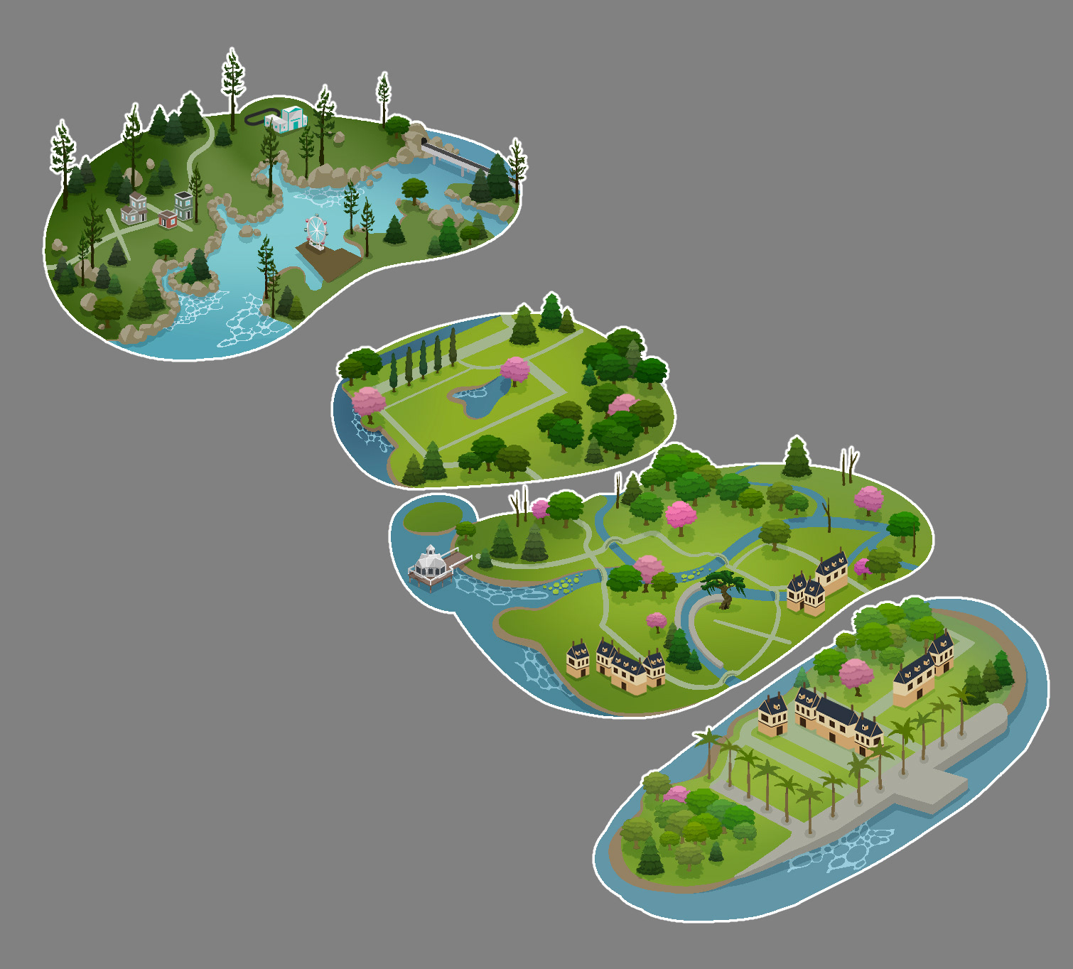
I created all buildings in Illustrator and imported them in to place. Some I colored in directly in Clip Studio, but mostly I made them to work immediately after placing.
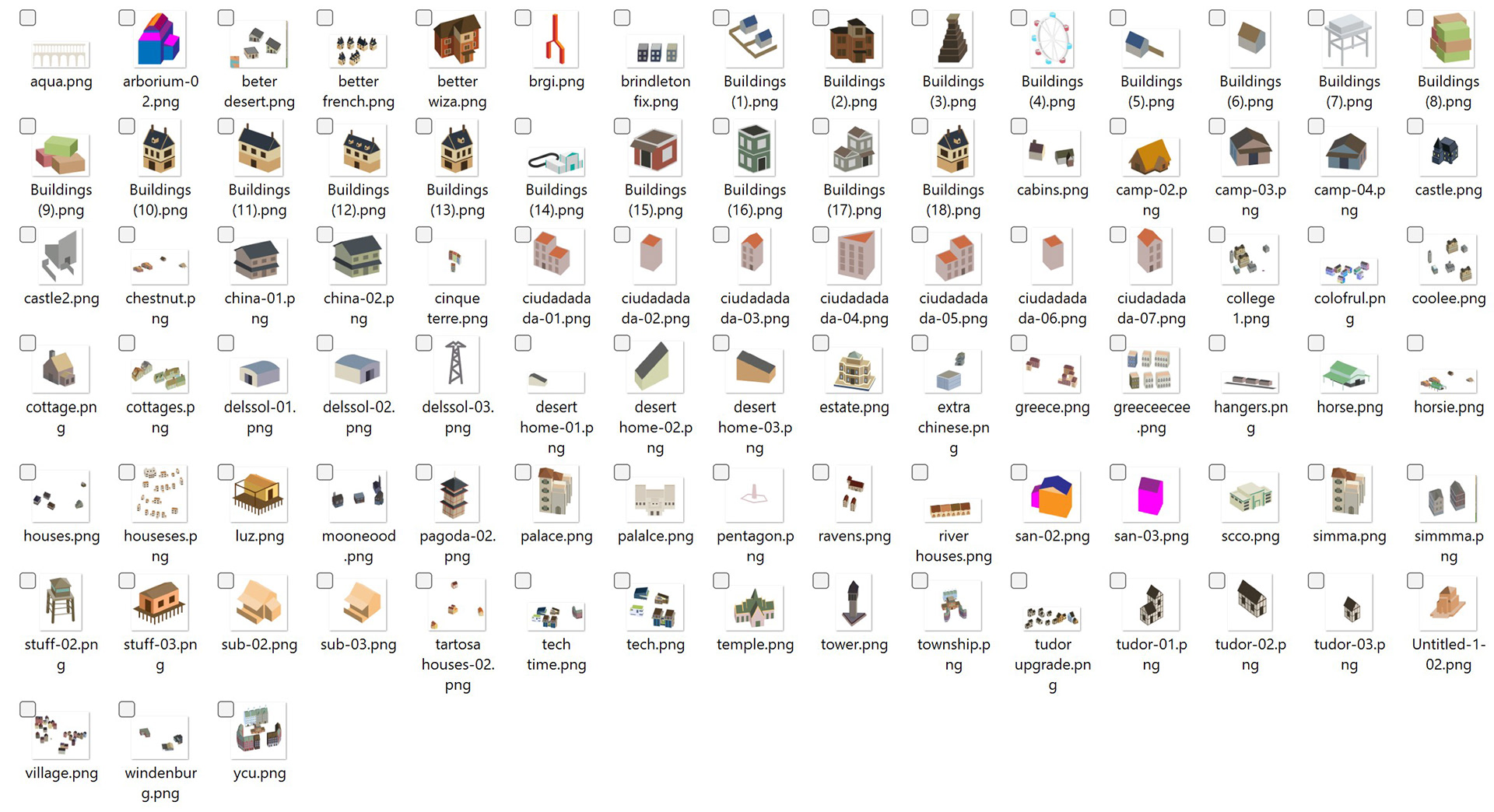
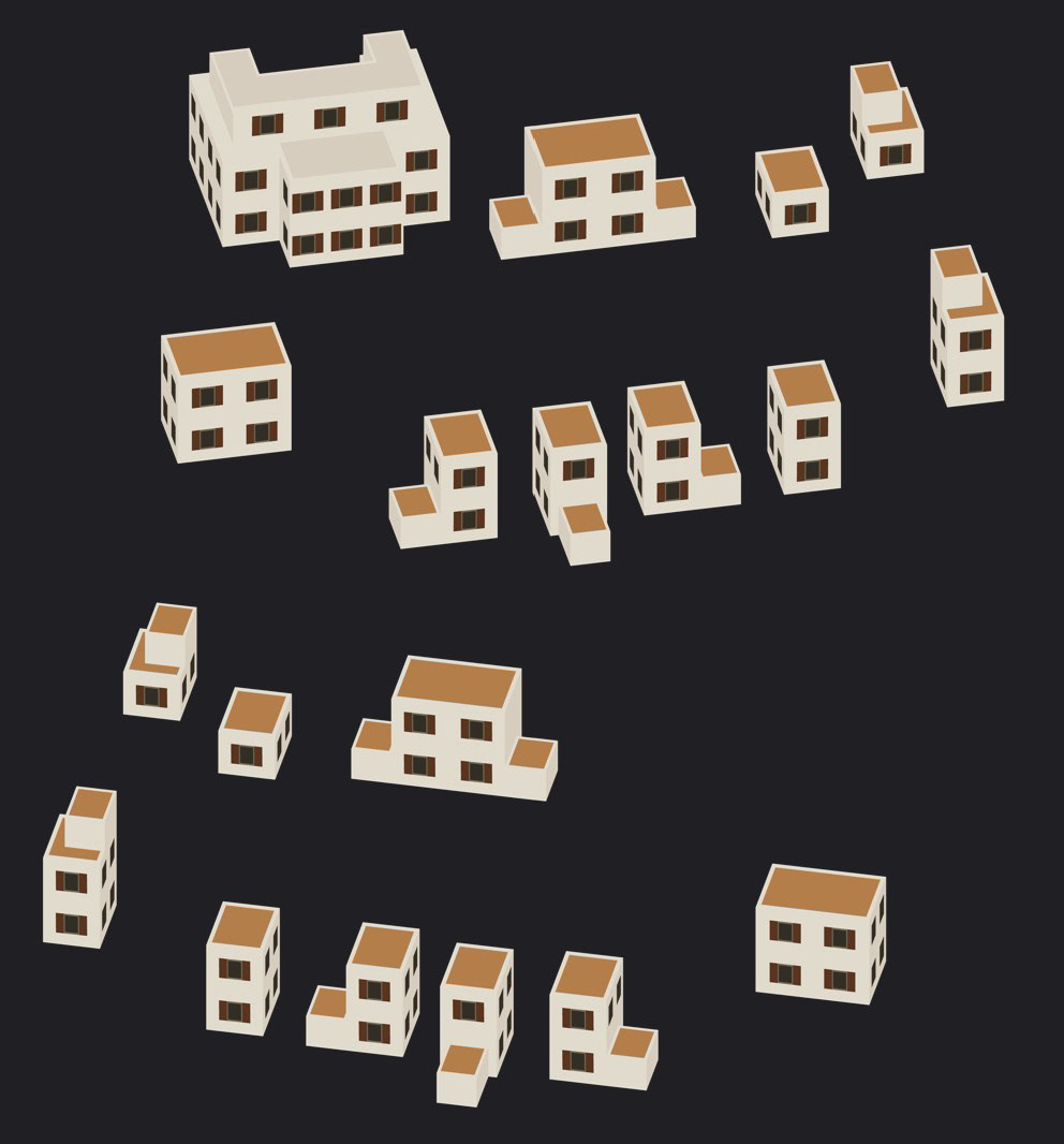
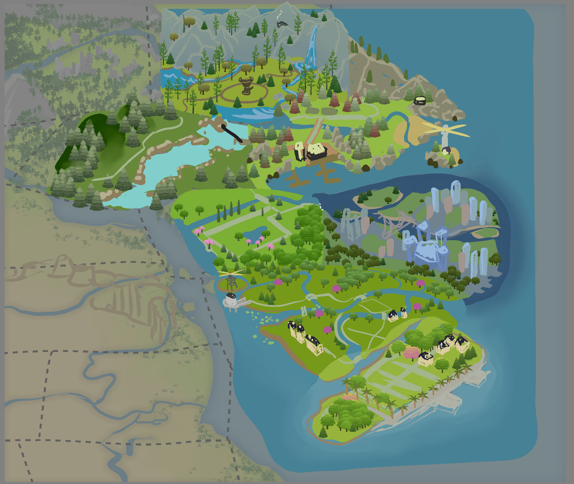
I continued on, town by town, sketching in layouts and finalizing them. It was around this time that we realized that in game, Sims would appear over a certain area of the map, blocking the artwork, therefore we adjusted the western coast upwards to avoid any map blocking.
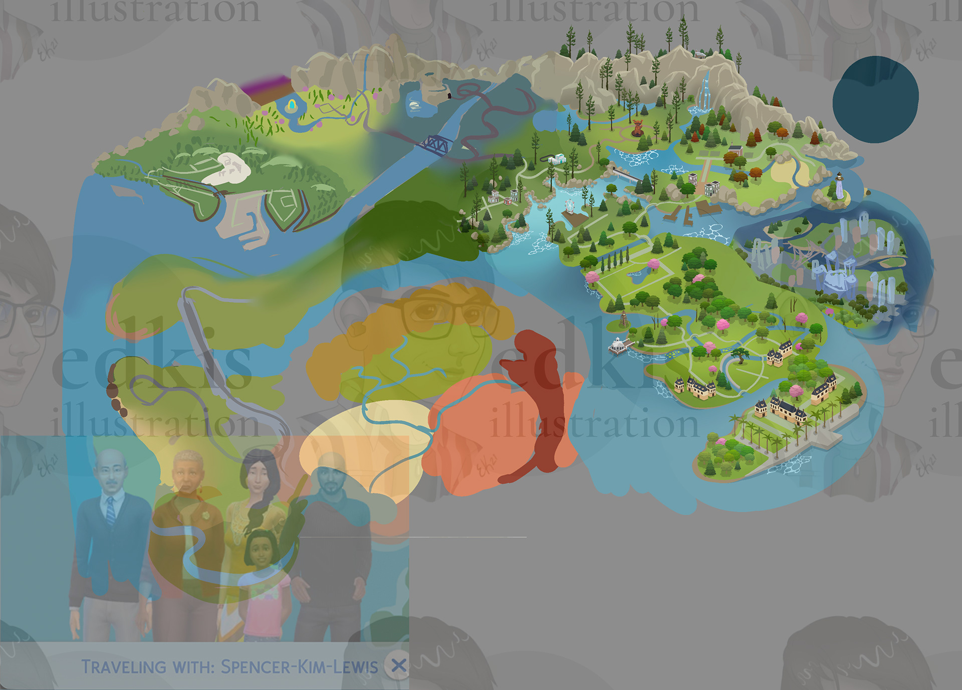
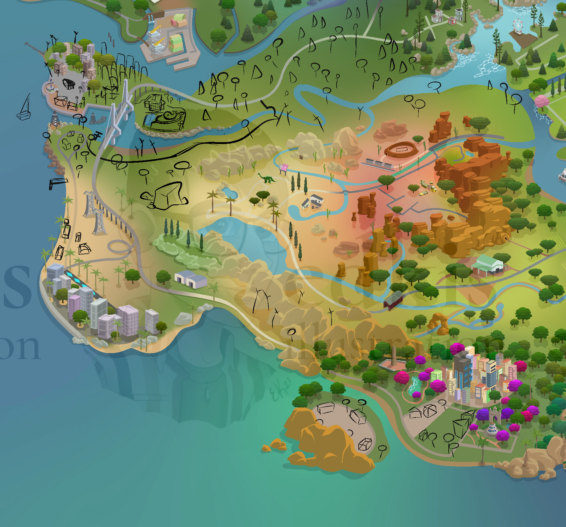
At this point, I got more sketching done for the desert portion, as well as the jungle island.
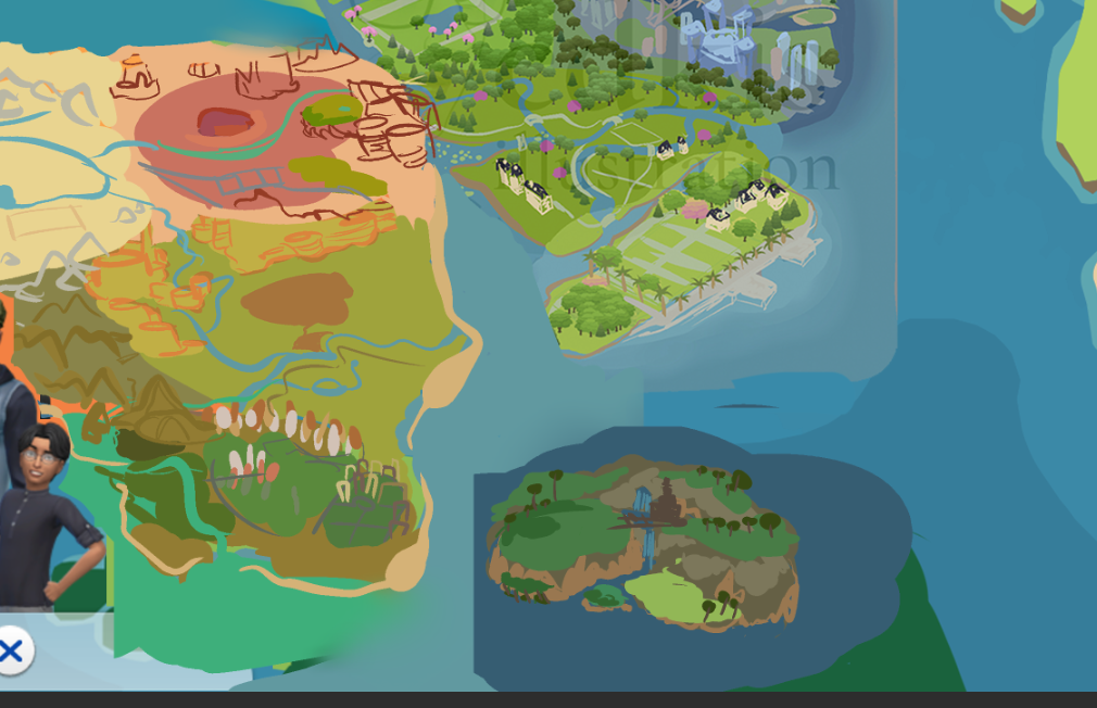
Instead of an island, the jungle was now attatched directly to the main continent.
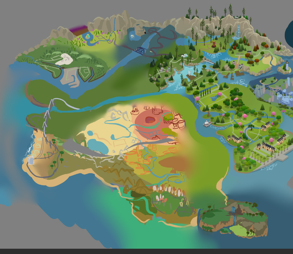
The cities themselves were quite daunting. I went and created a city building brush, similar to the plants, to quickly place a selection of sky scrapers. I'd alter some to better match the most notable towers in game.
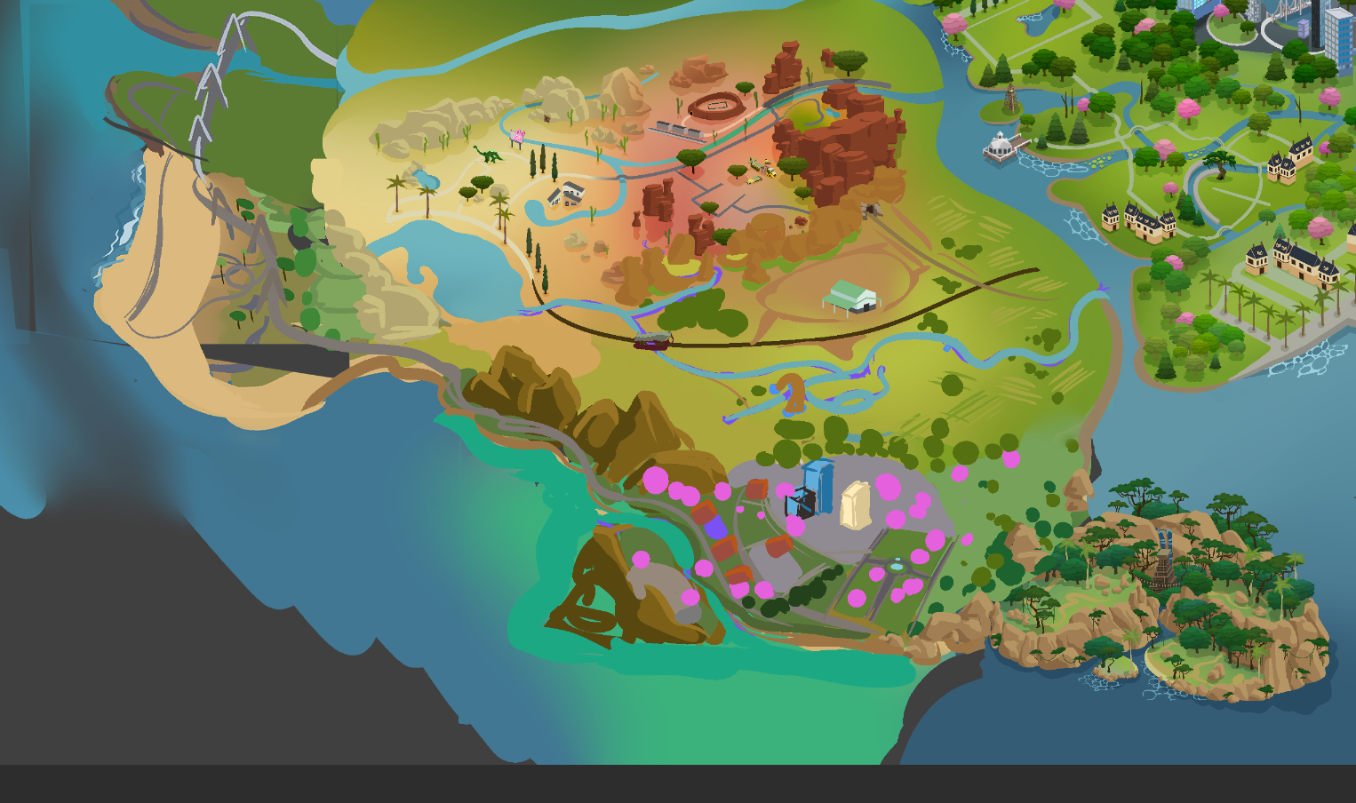
The last sketches of the western continent.
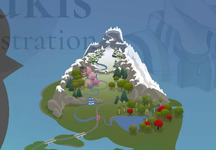
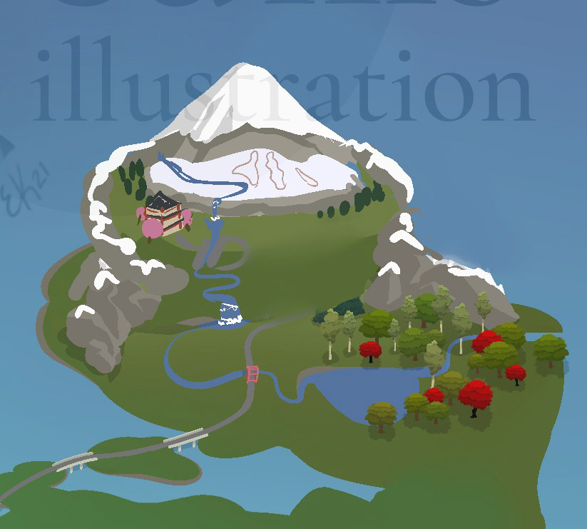
When I first draw out the snow mountain, I envisioned a peak that looked more climbable, hinting at mountain trails, but after some good feedback, changed it to look more like a mountain peak, which was definitly the right call.
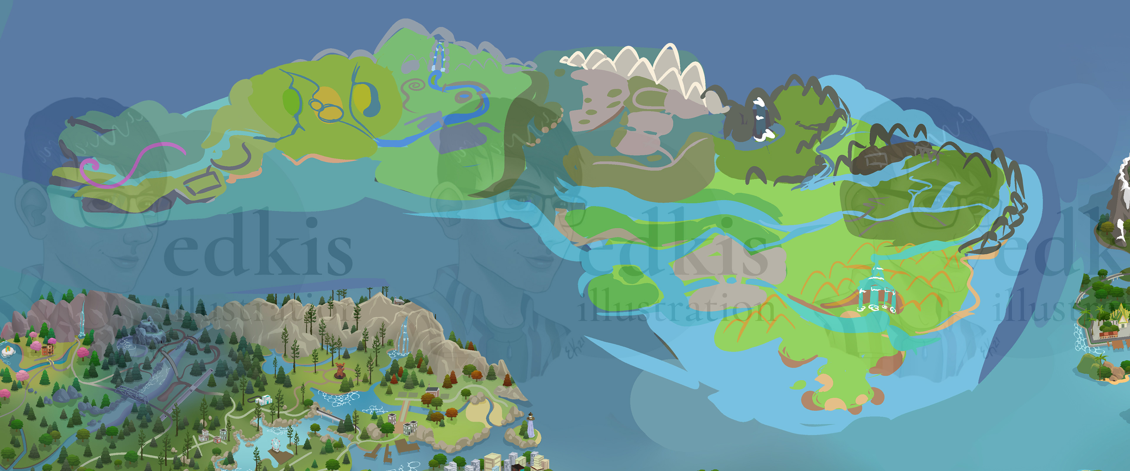
In similar fashion to the western continent, I moved on to the European one, getting each town connected and colored to match.
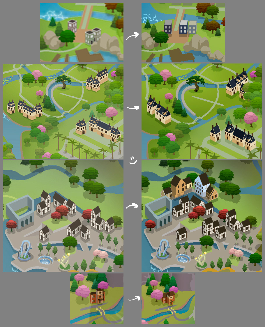
My system for creating the buildings in Illustrator became more efficient as time went on, so I went back and remade some of the earlier buildings. They match the perspective better and are overall a lot cleaner. The process got more steamlined, which is why I haven't included more progress shots, as it quickly goes from sketch to finished. I exported the final timelapse and it was an hour long! I'll be editing that down and sharing later!
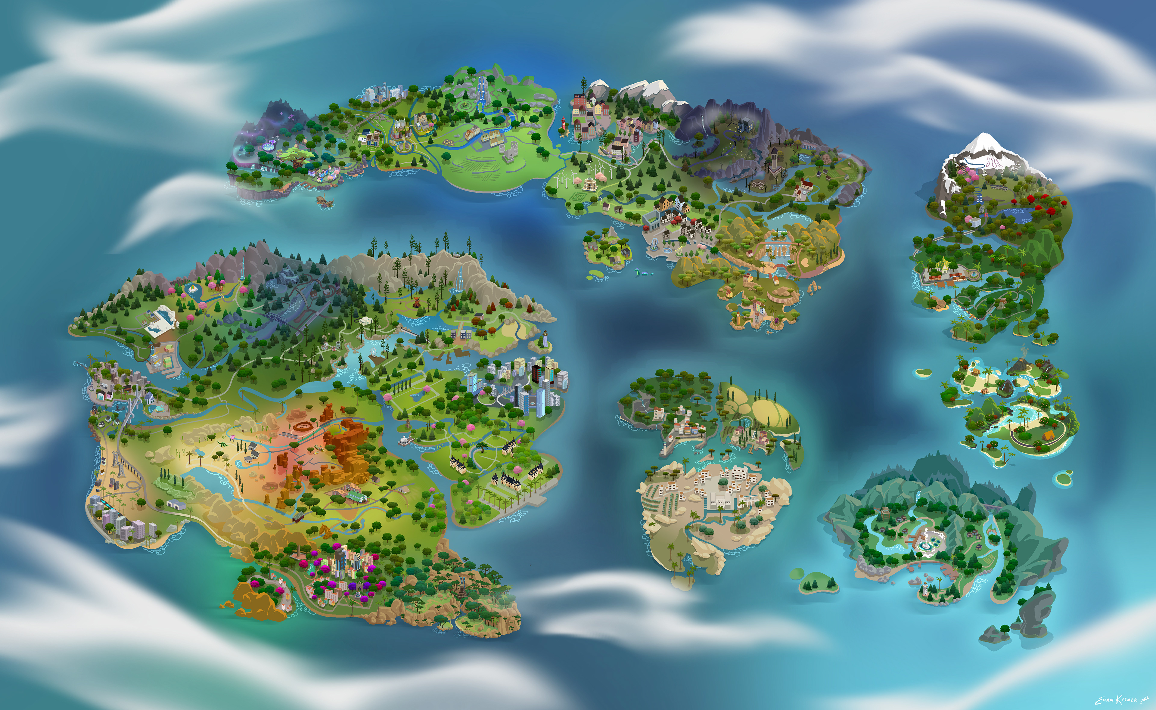
This is the finished product! One other issue that was later realized was we had to keep different resolutions in mind, so the ocean was expanded so each monitor size would crop accordingly!
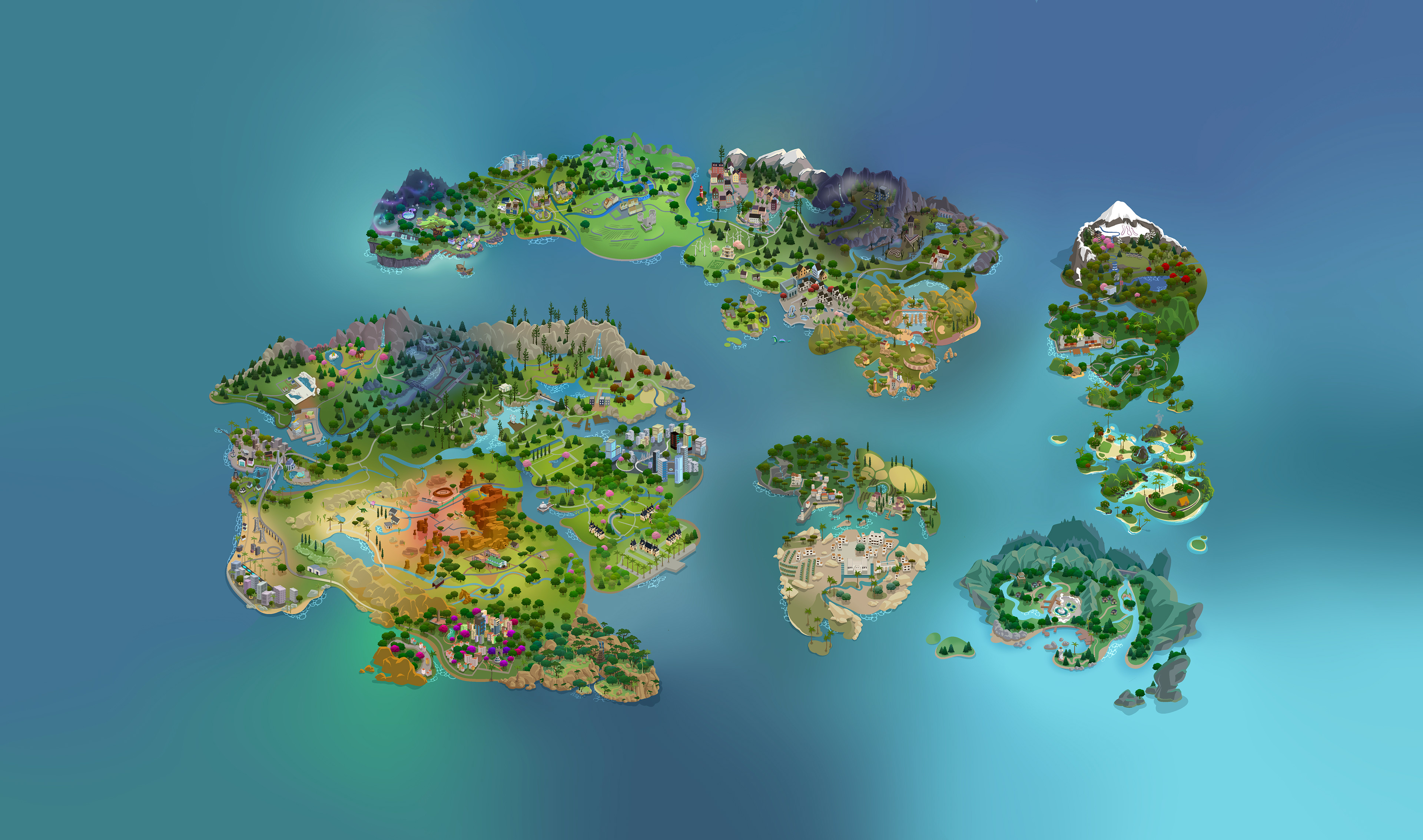
This is my final version. The one used for the actual mod has an added ocean texture and depth, as well as animated clouds. Those weren't my additions though, so for the sake of the portfolio piece, I added my own!